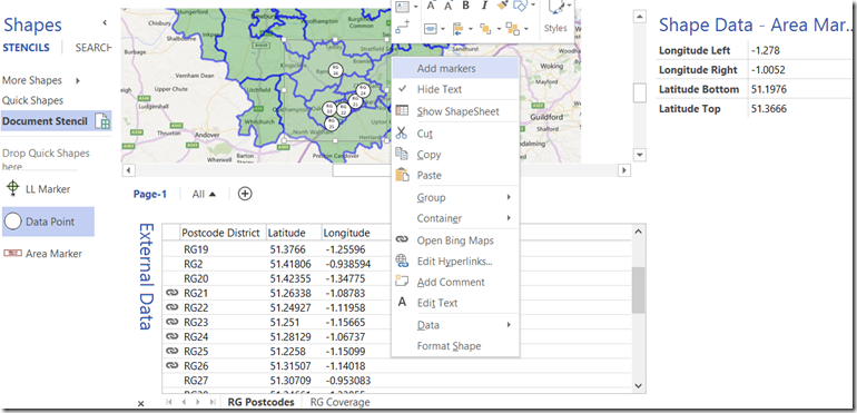
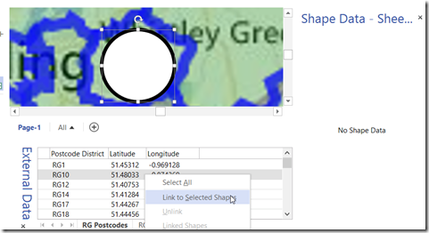
I have recently been demonstrating how to automatically drop data point shapes into the correct latitude \ longitude position over a map image in Visio, and in this instalment I show how to automatically filter the dropped data points by a rectangular area. This will only work after calibrating the map image as in my previous article http://blog.bvisual.net/2015/05/26/calibrating-a-map-in-visio/ and then using the Data Point shape (or similar) from http://blog.bvisual.net/2015/05/27/distributing-data-points-automatically-on-maps-in-visio/
The principles of reading the Shape Data value from a selected shape to automatically drop rows from the active External Data window using the selected master shape could be applied to many scenarios.


