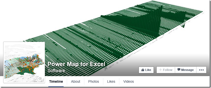
I watched a presentation today about some of the new features of Power Map. I was impressed, and the surprising thing is that the data does not have to be location data to get a 3D visualisation. All that is needed is to establish a co-ordinate system and any data can be transformed … and it can even have a time dimension!
https://www.facebook.com/MSPowerMap
It can do some visualisations that are just not possible with Visio, but I could see that Visio could be used to feed custom maps to Power Map with base layers and a co-ordinate system.
Cool custom maps : https://blogs.office.com/2014/10/08/6-cool-ways-use-custom-maps/
I will play some more with this soon….
